

The Irrigation Management Application is the main system of GreenWaterDrone applications, as it defines the areas of the system's methodologies implementation, it collects and processes the data for them, according to the scientific models it implements and finally, it expresses conclusions on the water demands of a crop, in various ways.
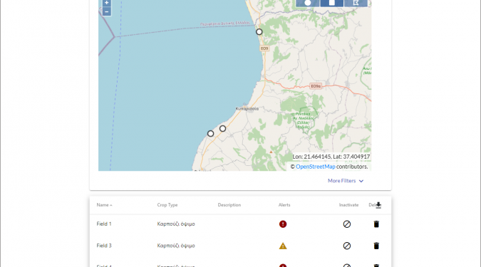
The fields are defined geographically and administratively and then follows the statement regarding the possibilities on recording data (by the sensors) and the field's features, such as the type of crop, the type of soil, the capabilities of the irrigation system, etc.
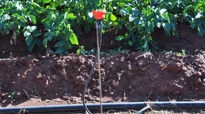
After being defined, fields and especially their crops, receive measurement data, either as flows or clusters of data, either they come from aerial means or come from ground stations. In any case, they are related to a crop by various methods, the main one being geospatial assignment. Data with geospatial information are cut to the limits of the crop so that they are attributed to their owners. Data without geospatial information may be related to a crop using other methods.
The measurement data can be transferred to the system either via the user interface, via an application programming interface (API), or having the ability to automatically extract from programming interfaces by third-party systems, offered by the system.
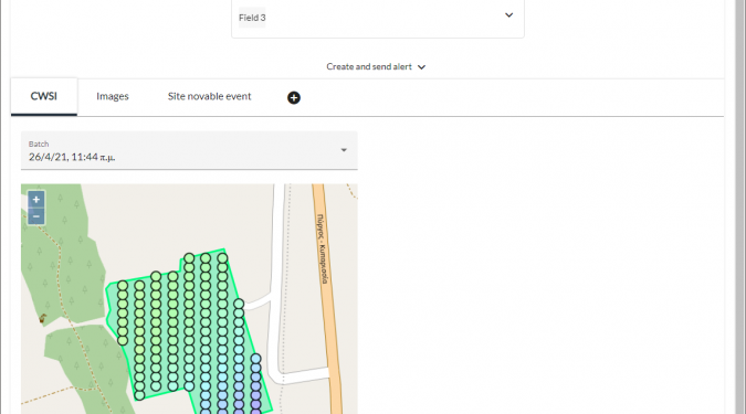
Application hosts the scientific models of the system, which receive the measurement data, in order to process them and extract various of numerical data. The water stress indicator (CWSI) is the most important in terms of the application needs. By using this indicator and configurating for each different type of crop, the application may come to conclusions like whether the next planned irrigation of a field can be delayed. It has the ability to record its conclusion, create the appropriate message and finally, send it to the foreman of a field. The message, either in the form of an email, SMS or in-app indication informs the user about the forecast of the system regarding the next irrigation of the field. The message will be delivered and marked on the basis of the criticality that the system distinguishes, in terms of the irrigation needs that the crops have.
To do so, users register in the application and provide the necessary information to be updated, after having accepted all the terms of communication required for the compliance with the GDPR.
If there is an automatic irrigation system which is remotely controlled, the application can provide the necessary data to form the irrigation plan that it implements, adapted to the really need that the plants are observed to have. In addition, since the irrigation system has such a capability, the application can provide data so the irrigation plan can be adapted to the specific needs of each individual part of the field.
Finally, the system applies modern techniques to ensure data confidentiality such as domain of authority, role / user access gradations, as well as Single-Sign On with social networks.